Tulare Lake Guide: History, Wildlife & Central Valley Map
/* Freedeets Custom Post Body Styling */
.freedeets-post-body {
font-family: -apple-system, BlinkMacSystemFont, “Segoe UI”, Roboto, Oxygen, Ubuntu, Cantarell, “Helvetica Neue”, sans-serif;
line-height: 1.8;
color: #2d3748;
font-size: 17px;
max-width: 100%;
margin: 0 auto;
padding: 10px 0;
}
.freedeets-post-body p {
margin-bottom: 1.6em;
color: #4a5568;
}
.freedeets-lead {
font-size: 1.15em;
font-weight: 400;
color: #2c3e50;
line-height: 1.8;
}
.freedeets-post-body h2 {
color: #1a365d;
font-size: 1.65em;
margin-top: 1.8em;
margin-bottom: 0.7em;
padding-bottom: 8px;
border-bottom: 2px solid #e2e8f0;
font-weight: 700;
line-height: 1.3;
}
.freedeets-post-body h3 {
color: #2b6cb0;
font-size: 1.3em;
margin-top: 1.4em;
margin-bottom: 0.5em;
font-weight: 600;
}
.freedeets-post-body ul, .freedeets-post-body ol {
margin-bottom: 1.6em;
padding-left: 24px;
}
.freedeets-post-body li {
margin-bottom: 0.6em;
color: #4a5568;
}
.freedeets-post-body li strong {
color: #2d3748;
}
.freedeets-box {
background-color: #f7fafc;
border-left: 4px solid #2b6cb0;
border-radius: 0 8px 8px 0;
padding: 20px 24px;
margin: 2em 0;
}
.freedeets-box h3 {
margin-top: 0;
color: #1a365d;
}
.freedeets-cards {
display: flex;
flex-wrap: wrap;
gap: 15px;
margin: 2em 0;
}
.freedeets-card {
flex: 1 1 220px;
background: #ffffff;
border: 1px solid #e2e8f0;
border-top: 3px solid #2b6cb0;
border-radius: 8px;
padding: 18px;
box-shadow: 0 2px 4px rgba(0,0,0,0.02);
}
.freedeets-card h4 {
margin: 0 0 10px 0;
color: #2c5282;
font-size: 1.1em;
}
.freedeets-card p {
margin: 0;
font-size: 0.95em;
color: #4a5568;
}
.freedeets-table-container {
overflow-x: auto;
margin: 2em 0;
}
.freedeets-table {
width: 100%;
border-collapse: collapse;
text-align: left;
font-size: 0.95em;
}
.freedeets-table th {
background-color: #1a365d;
color: #ffffff;
padding: 12px 16px;
font-weight: 600;
}
.freedeets-table td {
padding: 12px 16px;
border-bottom: 1px solid #e2e8f0;
}
.freedeets-table tr:nth-child(even) {
background-color: #f7fafc;
}
.freedeets-faq {
margin-top: 2em;
}
.freedeets-faq-item {
border: 1px solid #e2e8f0;
border-radius: 8px;
margin-bottom: 12px;
overflow: hidden;
background: #ffffff;
}
.freedeets-faq-question {
font-weight: 600;
padding: 16px 20px;
background: #f7fafc;
color: #2b6cb0;
margin: 0;
}
.freedeets-faq-answer {
padding: 16px 20px;
color: #4a5568;
line-height: 1.7;
}
.freedeets-faq-answer p:last-child {
margin-bottom: 0;
}
{
“@context”: “https://schema.org”,
“@graph”: [
{
“@type”: “Article”,
“headline”: “Tulare Lake Guide: History, Wildlife & Central Valley Map”,
“author”: {
“@type”: “Organization”,
“name”: “Freedeets”
},
“publisher”: {
“@type”: “Organization”,
“name”: “Freedeets”,
“url”: “https://www.freedeets.com”
},
“description”: “Discover the rich history, ecological importance, map layout, and outdoor recreation around California’s historic Tulare Lake Basin.”
},
{
“@type”: “FAQPage”,
“mainEntity”: [
{
“@type”: “Question”,
“name”: “Does Tulare Lake still exist today?”,
“acceptedAnswer”: {
“@type”: “Answer”,
“text”: “Historically drained in the late 19th century for Central Valley agriculture, Tulare Lake primarily exists as a dry basin, wildlife management area, and agricultural zone. However, during wet precipitation years, seasonal runoff temporarily resurrects portions of the lake.”
}
},
{
“@type”: “Question”,
“name”: “Where is the Tulare Lake Basin located?”,
“acceptedAnswer”: {
“@type”: “Answer”,
“text”: “The basin sits in the southern San Joaquin Valley of California, situated between Fresno and Bakersfield, bordered by the Sierra Nevada mountains to the east.”
}
},
{
“@type”: “Question”,
“name”: “What outdoor activities are popular near Tulare Lake?”,
“acceptedAnswer”: {
“@type”: “Answer”,
“text”: “Visitors enjoy birdwatching at the Tulare Lake Wildlife Management Area, hiking oak woodland trails at Kaweah Oaks Preserve, and exploring nearby Sequoia & Kings Canyon National Parks.”
}
}
]
}
]
}
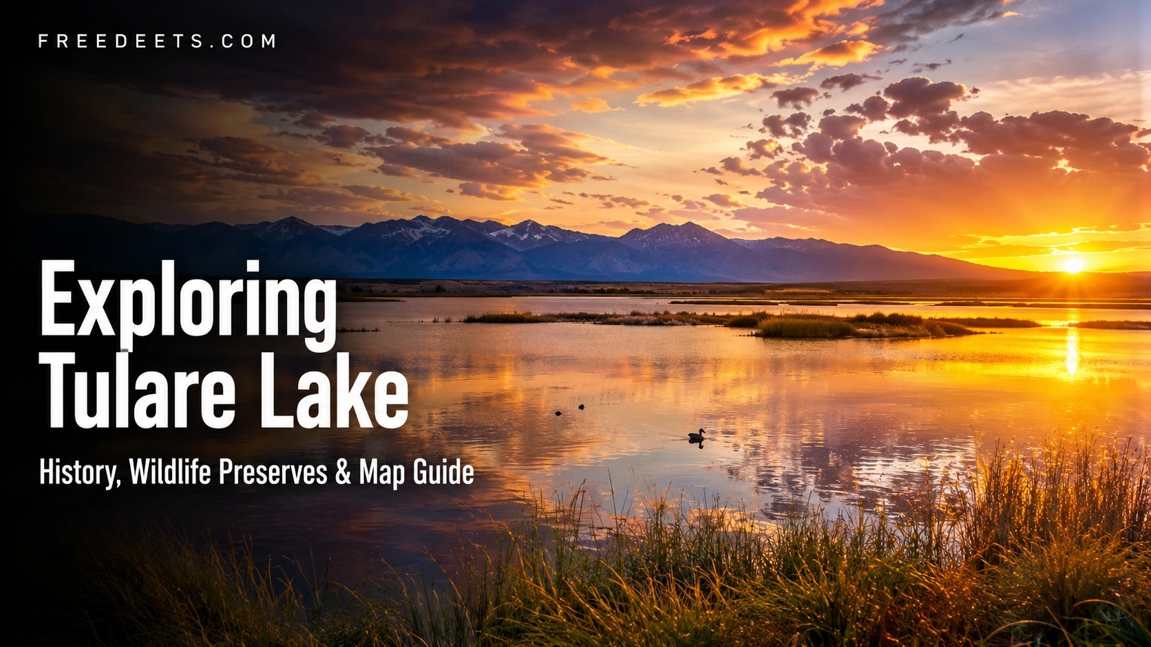
Nestled in California’s fertile San Joaquin Valley lies one of the most fascinating geographic and ecological stories in the American West: the basin of Tulare Lake. Once recognized as the largest freshwater lake west of the Mississippi River, this historic body of water holds a profound place in California’s natural history, Indigenous heritage, and agricultural evolution.
Whether you are a nature enthusiast fascinated by Pacific Flyway bird migrations, a history buff exploring California’s Central Valley, or a traveler mapping out road trips between Kings Canyon and Sequoia National Parks, understanding the legacy of Tulare Lake offers a captivating window into the golden state’s shifting landscape.
The Rich History of Tulare Lake: From Indigenous Haven to Agricultural Hub
For thousands of years prior to European settlement, the Indigenous Yokuts people thrived along the sprawling, reed-lined shores of Tulare Lake (known in their language as Pa’ashi). Covering upwards of 600 to 1,000 square miles depending on seasonal snowmelt from the Sierra Nevada mountains, the lake provided an abundant sanctuary rich in fish, waterfowl, and game.
Indigenous Roots
Sustained the Yokuts nations for generations through sustainable hunting, fishing, and trade across Central California.
19th Century Diversion
Dams and agricultural canals diverted feeder rivers (Kings, Kaweah, Tule, and Kern) to irrigate Central Valley farmland.
Modern Resurgence
During heavy atmospheric river weather cycles, snowmelt temporarily fills the basin, demonstrating nature’s enduring power.
As California’s farming industry expanded in the late 1800s, engineers diverted the four primary rivers feeding the basin. While the water helped establish the Central Valley as one of the most productive agricultural regions in the world, it transformed the permanent body of water into a seasonal basin—a powerful reminder of the delicate balance between natural ecosystems and human development.
Geographic Overview & Map Layout of the Basin
Situated in Kings and Tulare counties, the Tulare Lake Basin sits at an elevation of roughly 180 to 240 feet above sea level. Bounded by the Sierra Nevada range to the east and the Coast Ranges to the west, the region acts as a natural hydrological bowl in southern Central California.
| Key Landmark | Location / Proximity | Primary Visitor Experience |
|---|---|---|
| Tulare Lake Wildlife Management Area | Kings County / Corcoran area | Birdwatching, seasonal wetland viewing, wildlife photography |
| Kaweah Oaks Preserve | Near Visalia, CA | Self-guided hiking trails, valley oak forest conservation |
| Sequoia & Kings Canyon National Parks | 1 Hour East (Sierra Nevada Foothills) | Giant Sequoia groves, alpine hiking, wilderness camping |
Flora, Fauna, and Wildlife Watching Opportunities
Despite historical land changes, the Tulare Lake Basin remains a critical habitat zone within the Pacific Flyway. During migratory seasons, thousands of waterfowl and shorebirds rest in the local wetlands and agricultural preserves.
Key Wildlife Species to Spot:
- Avian Species: American avocets, black-necked stilts, white pelicans, sandhill cranes, and northern pintails.
- Native Mammals & Reptiles: Kit foxes, desert cottontails, valley garter snakes, and native raptors including red-tailed hawks.
- Riparian Vegetation: Re-established native valley oaks, tule reeds, cottonwood trees, and native marsh grasses.
Pro Travel Tip for Birdwatchers
Pack high-powered binoculars and telephoto camera lenses when visiting Central Valley wildlife preserves during spring and autumn migration windows. Early morning hours offer optimal lighting and active bird feeding behavior.
Top Outdoor Recreation & Attractions Near Tulare Lake
Exploring the region around Tulare Lake offers a rewarding mix of eco-tourism, peaceful hiking, and outdoor recreation:
- Tulare Lake Wildlife Management Area: Offers quiet viewing spots along designated access roads to observe wetland bird populations.
- Hiking at Kaweah Oaks Preserve: Walk through one of the last remaining primeval valley oak riparian forests in the San Joaquin Valley, featuring flat, family-friendly trail loops.
- Agritourism & Local Culture: Explore nearby communities like Visalia and Tulare, known for farm-to-table dining, historical museums, and agricultural heritage tours.

Travel Planning & Visitor Essentials
To ensure a comfortable trip through California’s Central Valley, keep these practical tips in mind:
- Weather Awareness: Summer temperatures in the valley routinely exceed 90°F to 100°F. Plan outdoor walks for early morning, carry ample water, and wear sun protection.
- Seasonal Timing: Late fall through early spring brings cooler weather, migratory bird activity, and green foothill scenery.
- Lodging & Camping Options: Nearby Visalia and Tulare offer full-service hotels, vacation rentals, and RV parks, while the nearby Sierra Nevada foothills feature mountain campgrounds.
Frequently Asked Questions (FAQ)
Historically drained in the late 19th century for Central Valley agriculture, Tulare Lake primarily exists as a dry basin, wildlife management area, and agricultural zone. However, during wet precipitation years, seasonal snowmelt temporarily resurrects portions of the lake.
The basin sits in the southern San Joaquin Valley of California, situated between Fresno and Bakersfield, bordered by the Sierra Nevada mountain range to the east.
Visitors enjoy birdwatching at the Tulare Lake Wildlife Management Area, hiking oak woodland trails at Kaweah Oaks Preserve, and taking scenic day trips into nearby Sequoia & Kings Canyon National Parks.
Final Thoughts: A Historic California Treasure
Tulare Lake’s journey from a massive inland sea to an agricultural power center—and a seasonal wildlife haven—makes it one of California’s most compelling geographic stories. By visiting its surrounding preserves and understanding its history, modern travelers can experience the resilience and beauty of the Central Valley landscape.